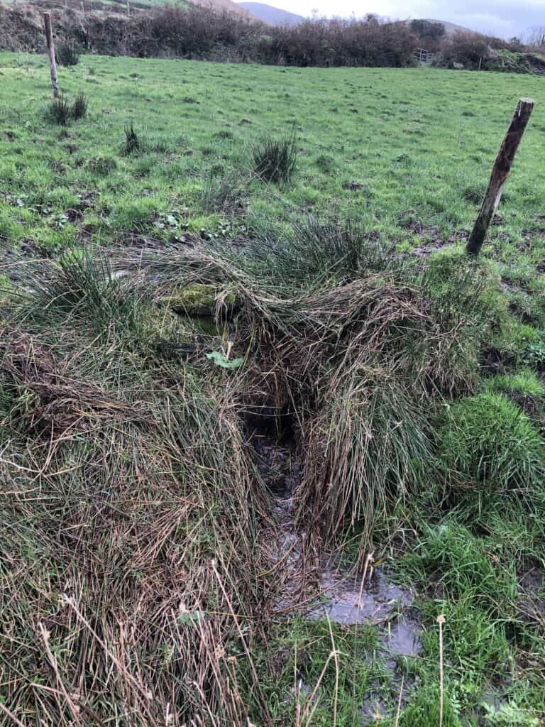
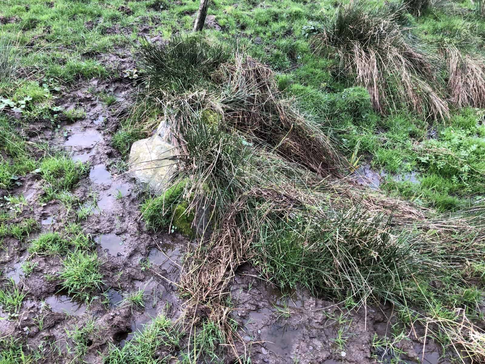
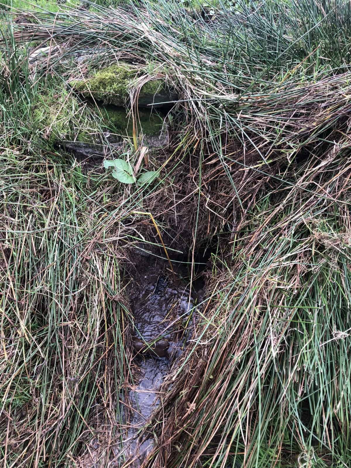
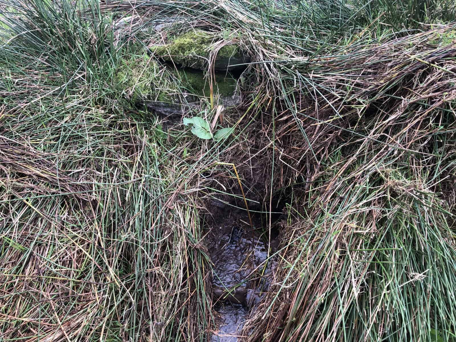
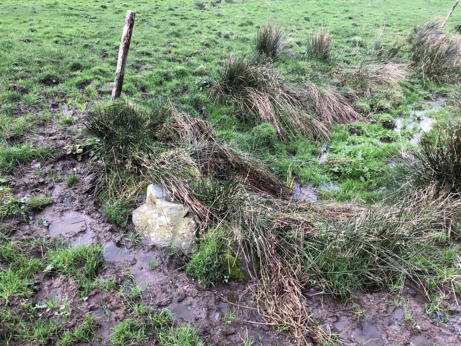
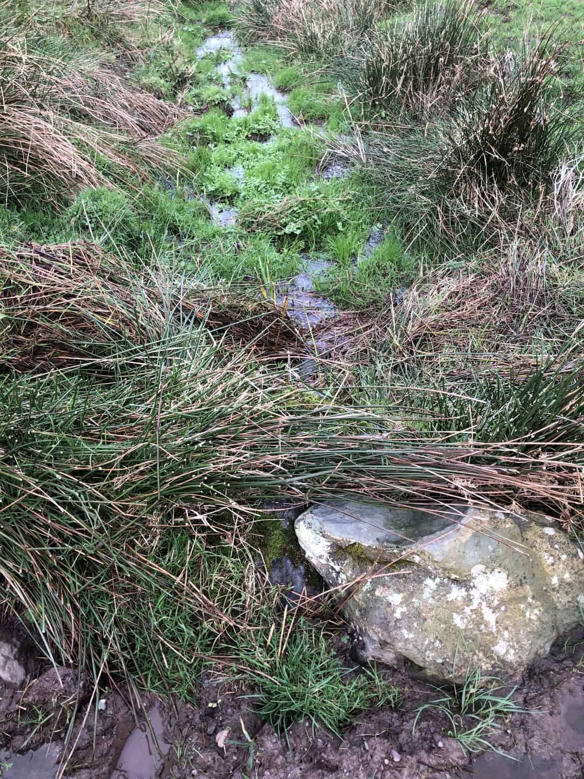
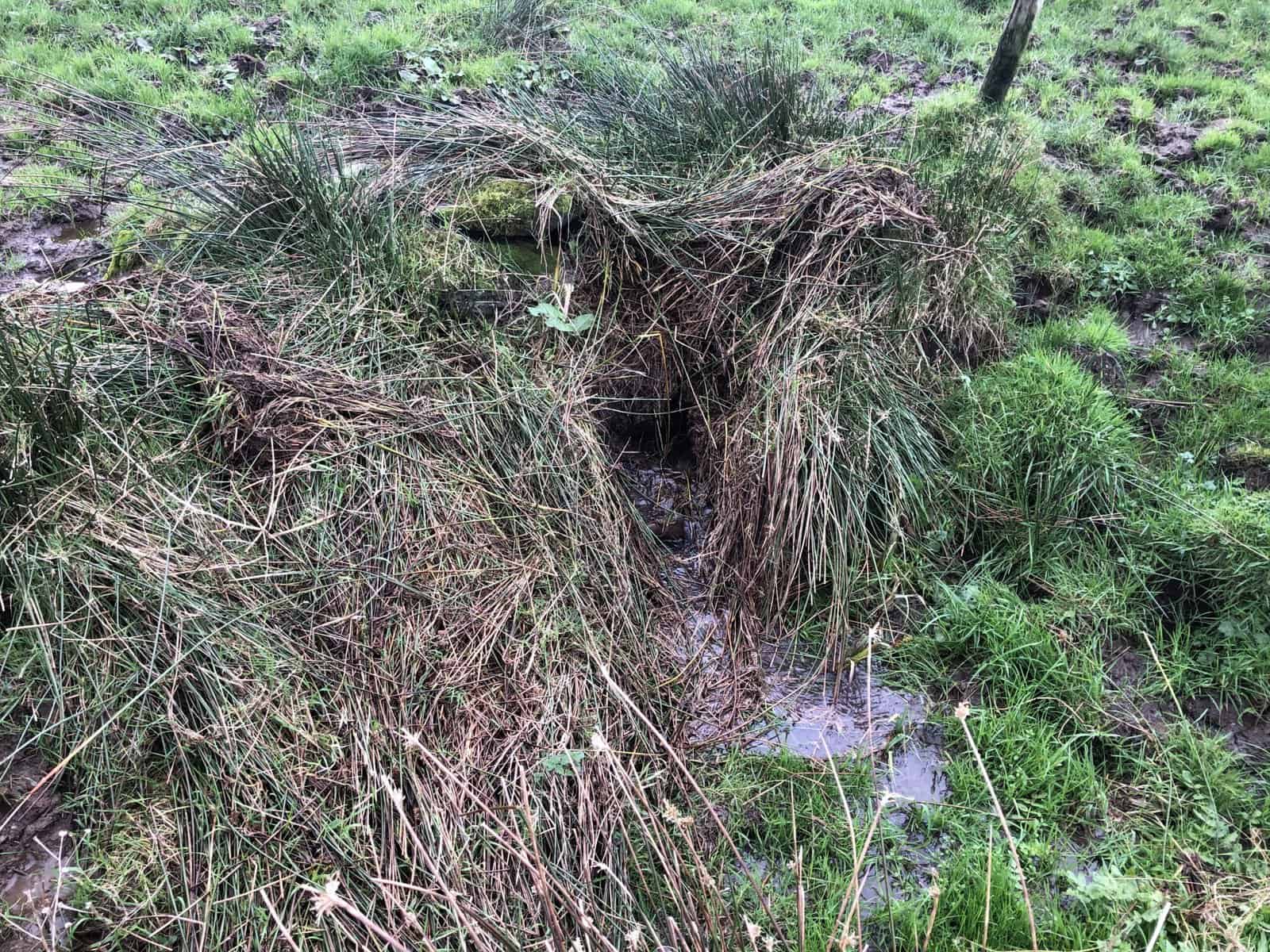
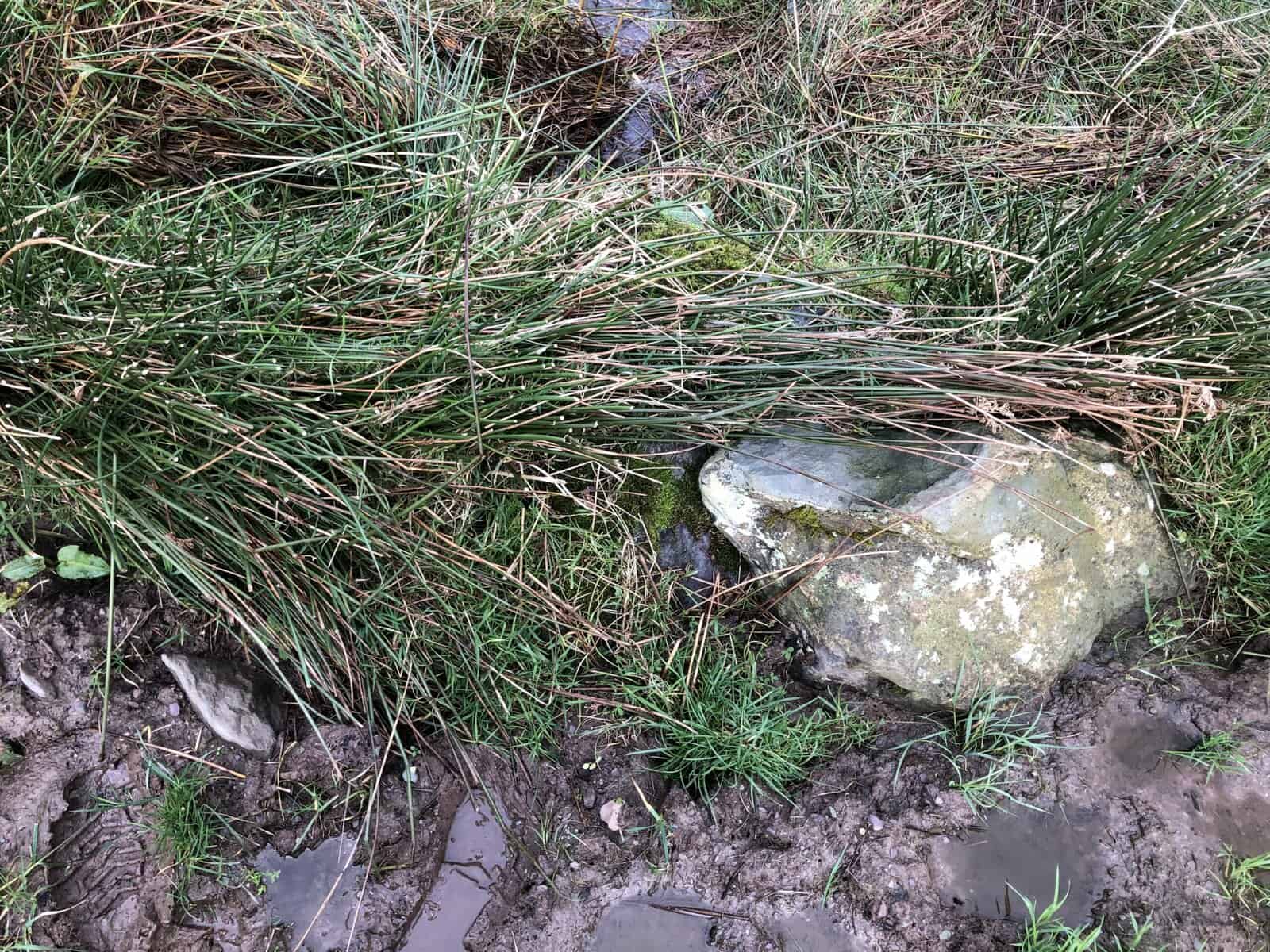
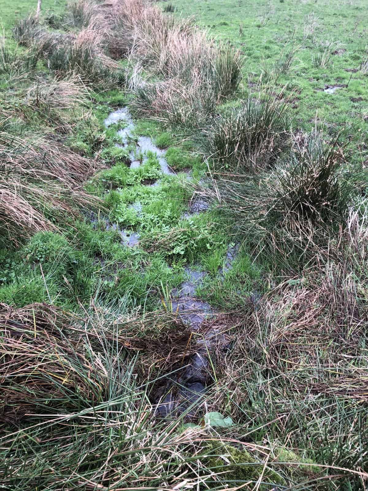
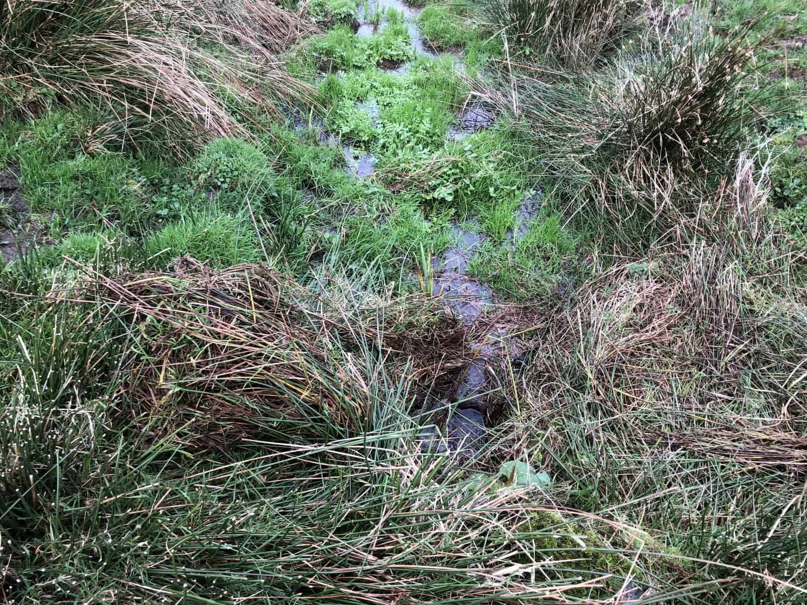
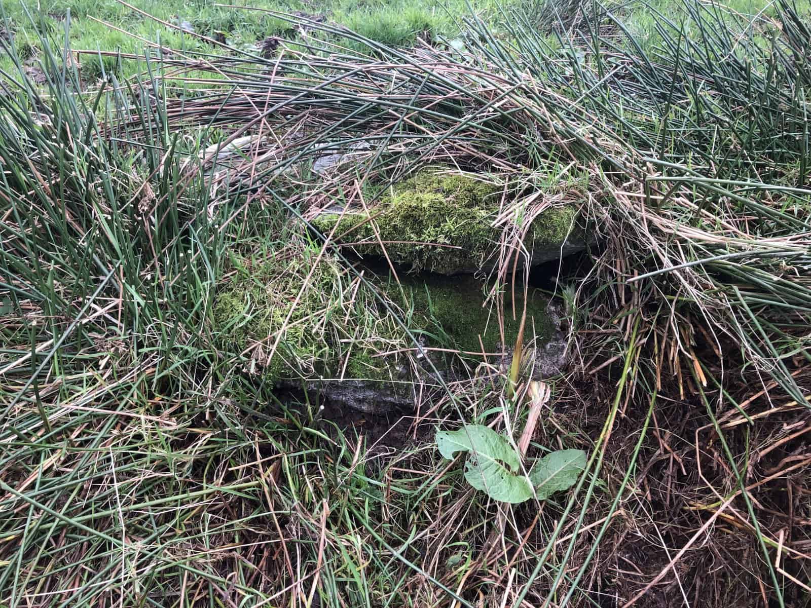
Ó Danachair – Par. Kilmalkedar, tld. Lateeve Beg, sheet 42, 714 : 152. ” Tobarteh ” on 1842 map; “an Tobar Te ” local. Now a marshy hollow in a field corner. “Stations had been performed at it till 1810 or 20 since which time it has ceased to be in practice ” OSNB.
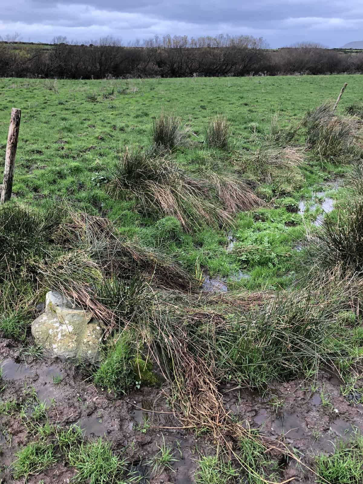
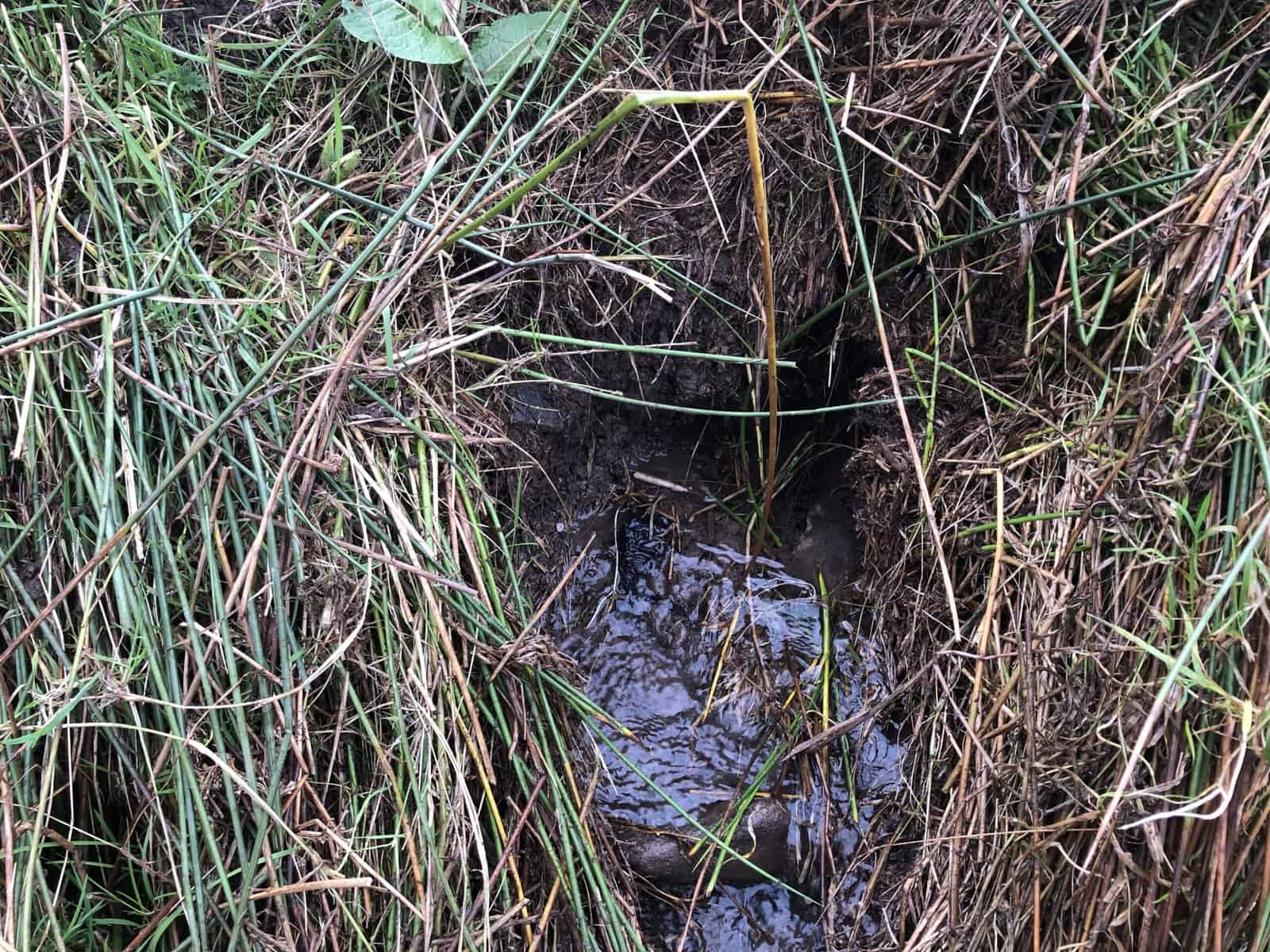
Mag Fhloinn: Access to this site from Lateeve is difficult, and muddy in wet weather. The current location of the well is no longer in the corner of a field, so it is likely that improvements to the land have opened up some former boundaries. The water flows steadily, but no signs remain of any recent devotions.