Chorca Dhuibhne | Deep Maps | Dingle Peninsula
Chorca Dhuibhne Holy Wells Project
No Public Access
KE043-143----
Tobernaplaw
|
Tobar na Pláighe
Address
Knockavrogeen, Kildrum
52.159205
, -10.308746
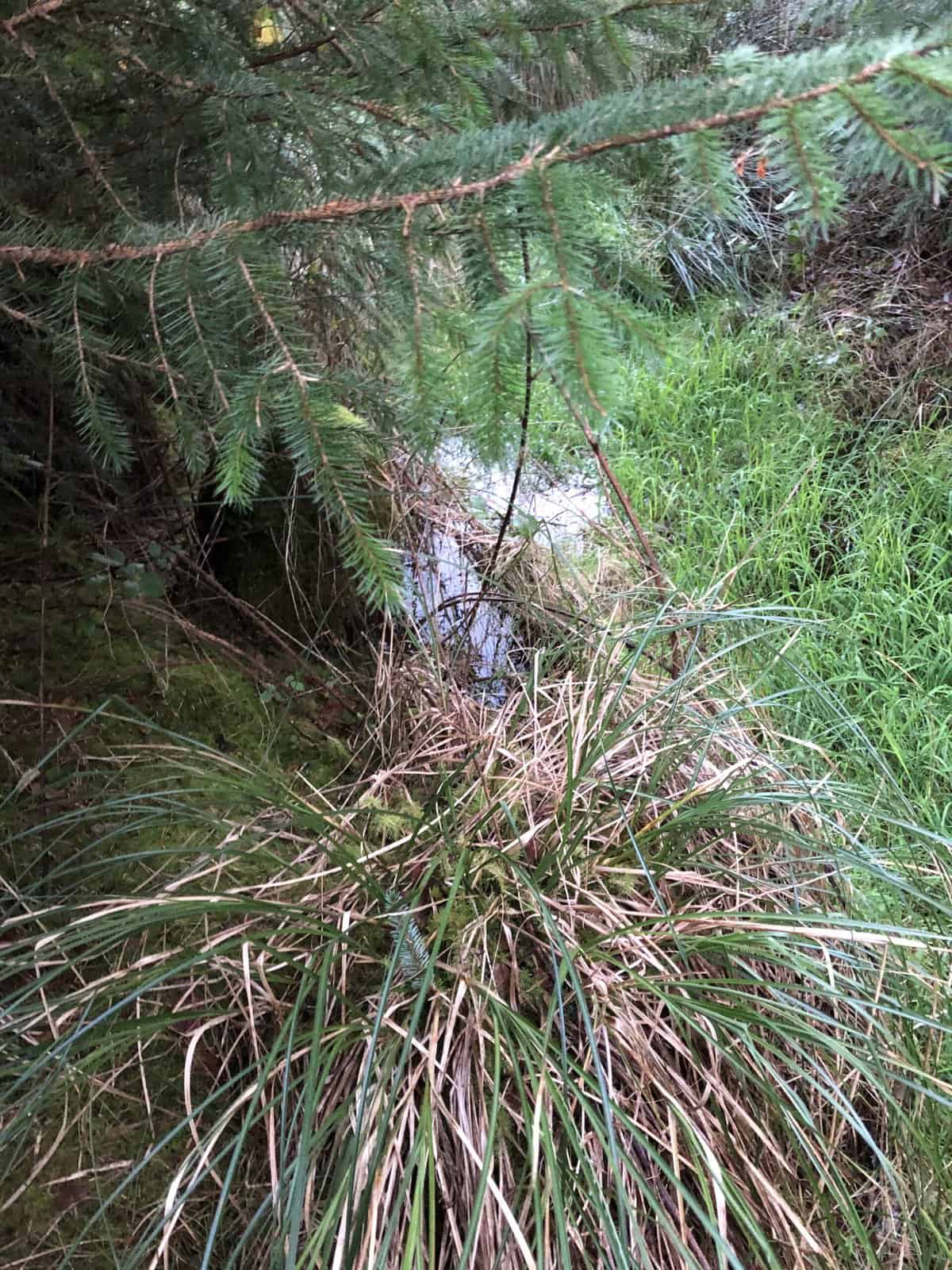
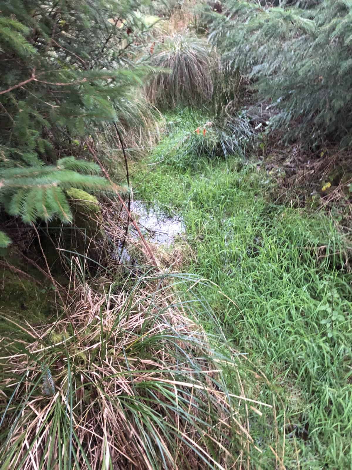
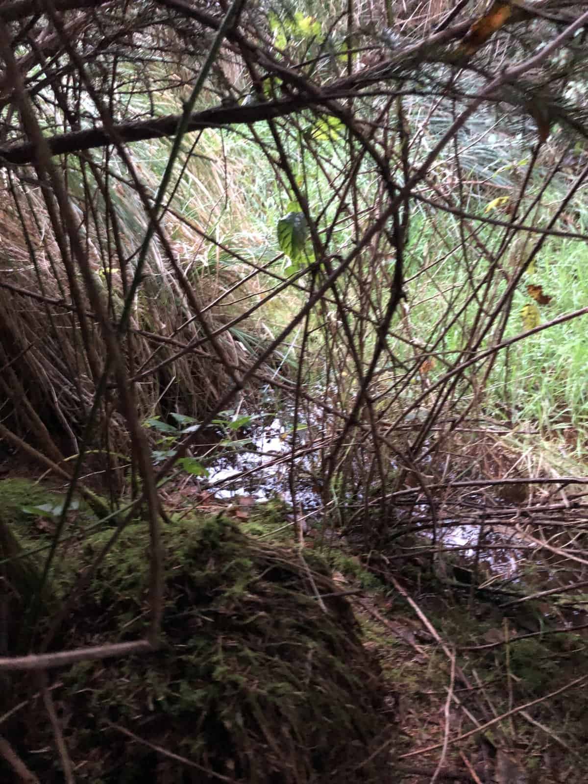
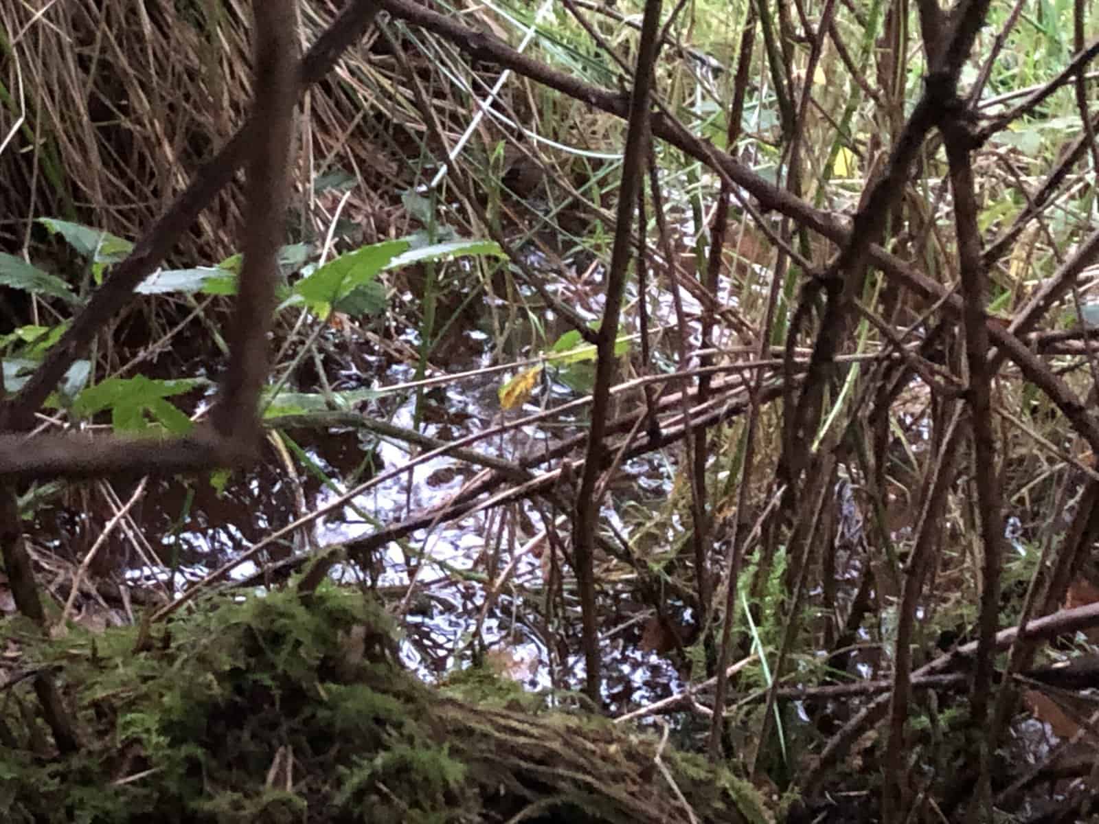
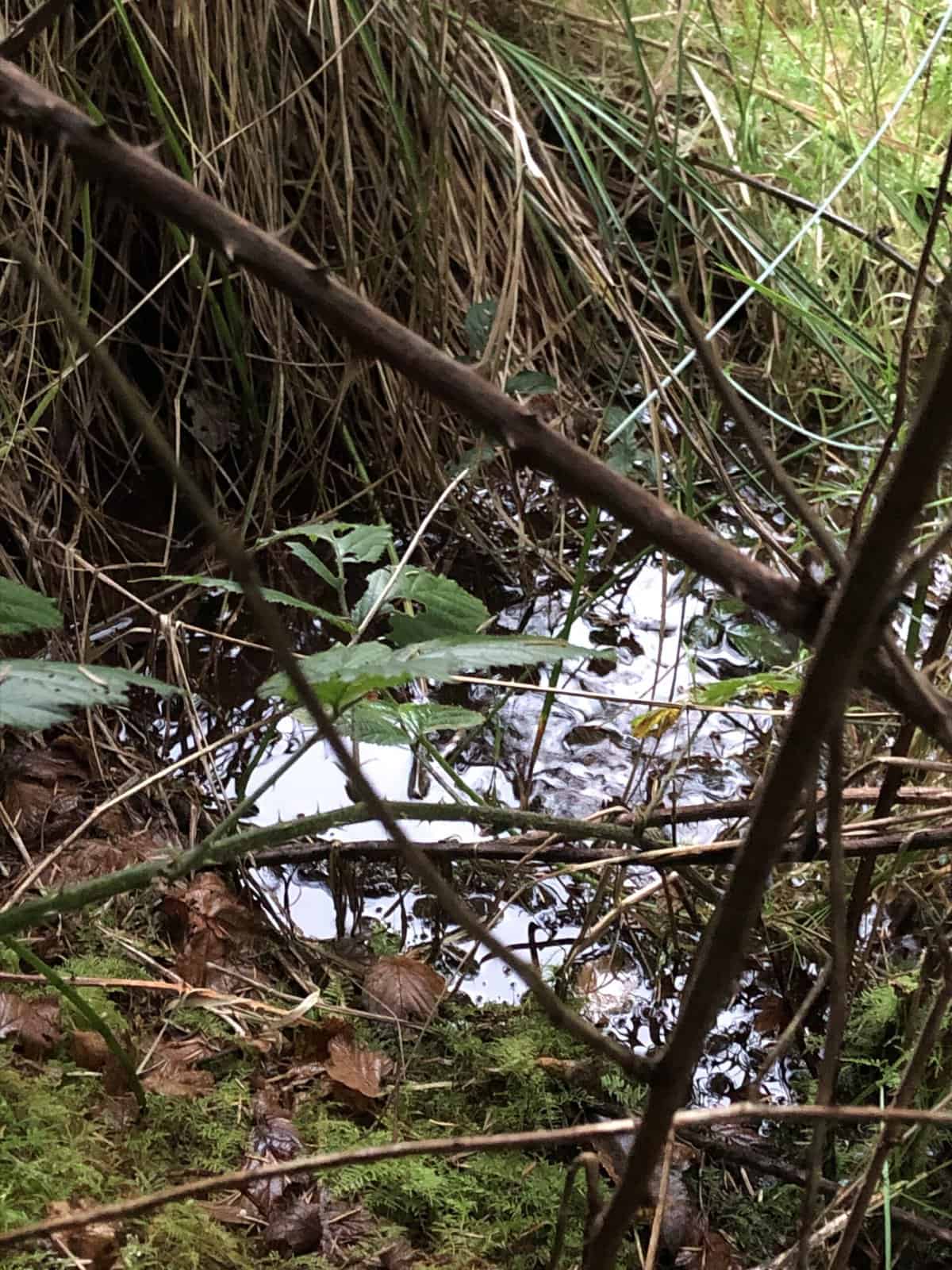
Mag Fhloinn – This well is extremely challenging to access. Since the time of Danaher (1960) and Cuppage (1986), a conifer plantation has grown up around its location, and it is now very difficult to get to. Branches and briars block the way for most of the journey through the woods, and when one does encounter the well, it is a large waterlogged ditch full of vegetation, and little space to stand around it. There is a flow to the water, although this is difficult to detect because it is so overgrown, and very little surface can be seen. It is around 50cm deep, although is deeper in some spots, and stretches in an L shape around eight metres in total length and 1-2 metres in width. It is completely surrounded by tall conifers and briars, and a few willow trees. The runoff forms a small rivulet to the south, which joins a stream and flows out of the woods in a south west direction. (BMF 24/11/21)
Videos
Links
- [email protected]
- Dingle, Co. Kerry, Ireland