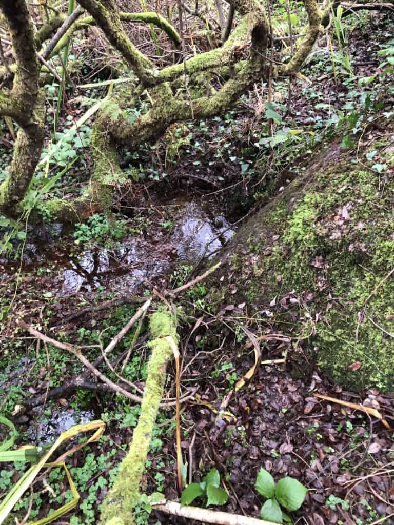
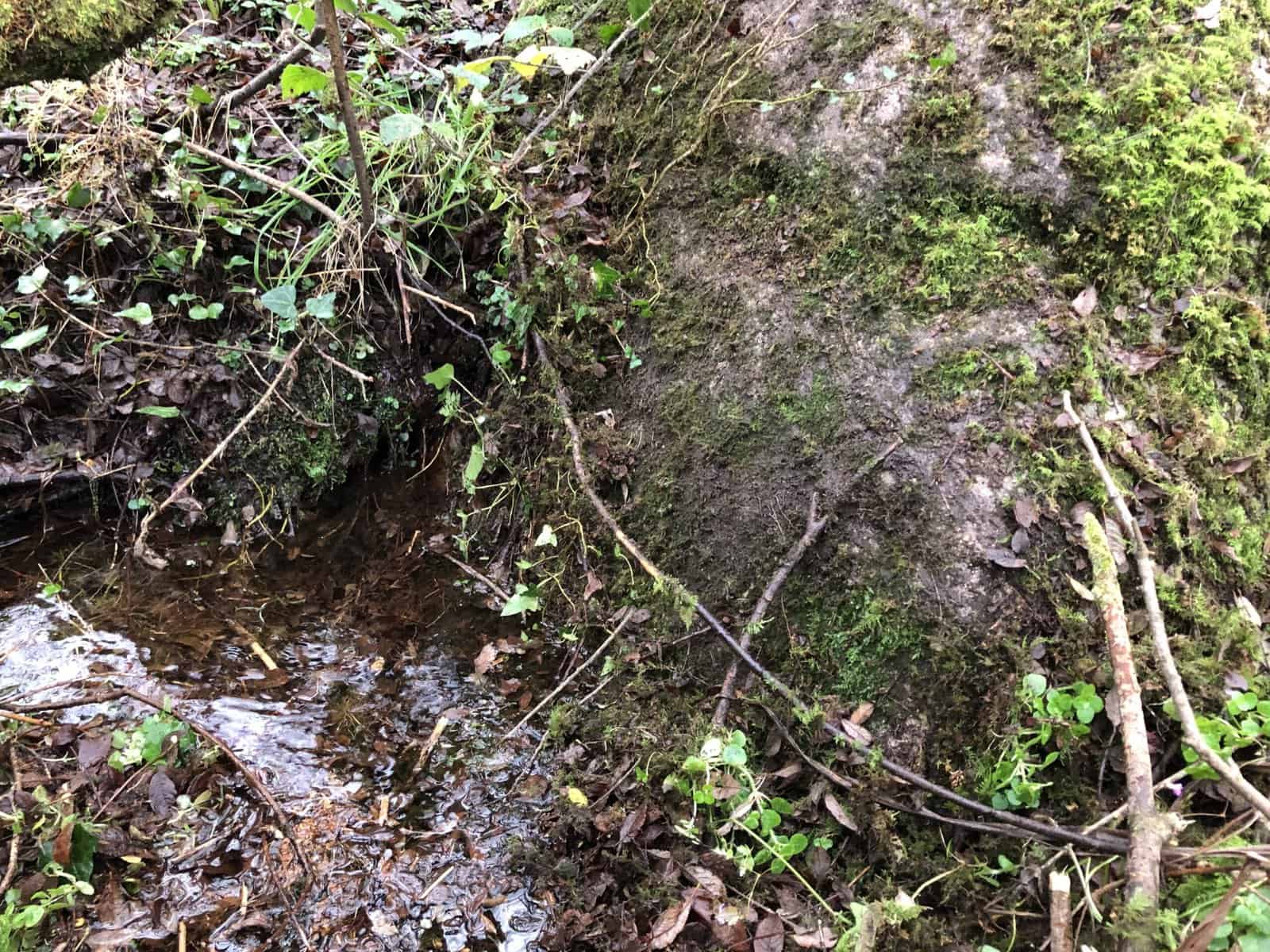
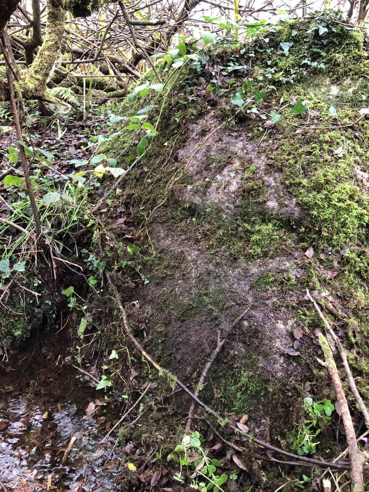
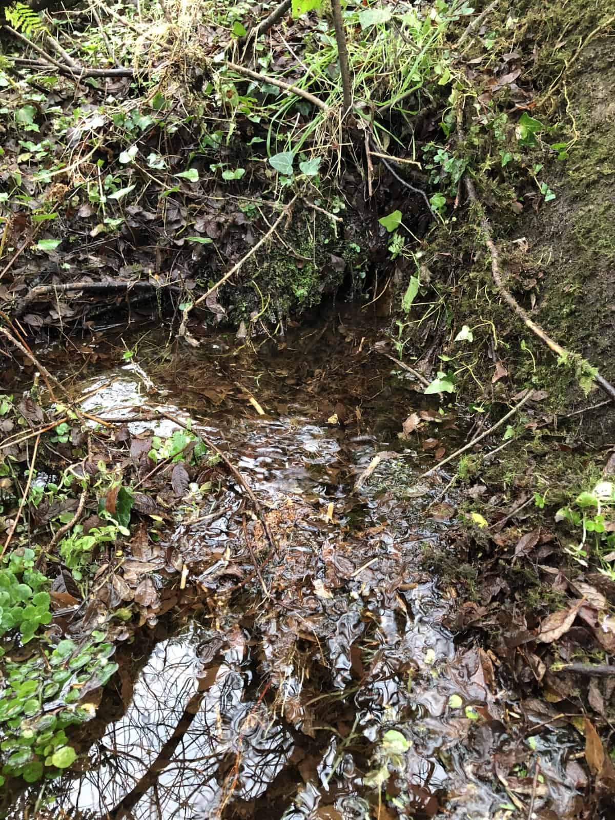
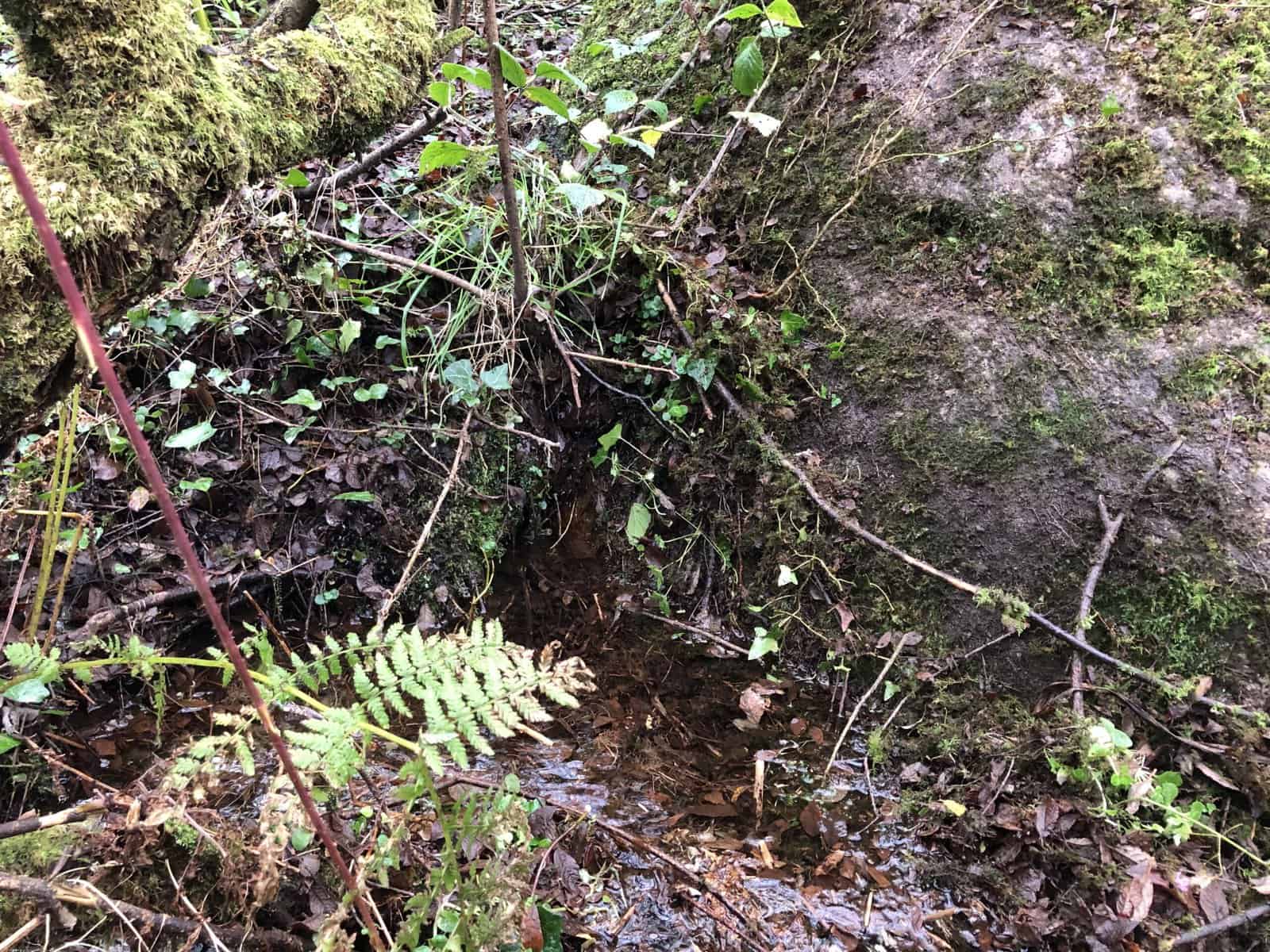
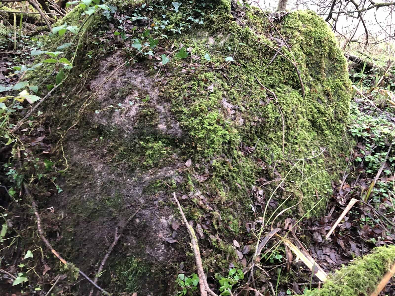
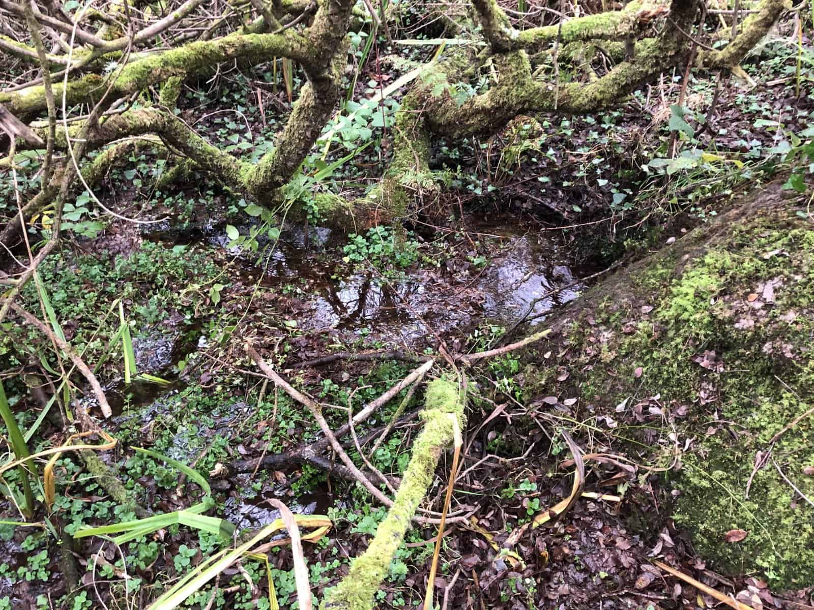
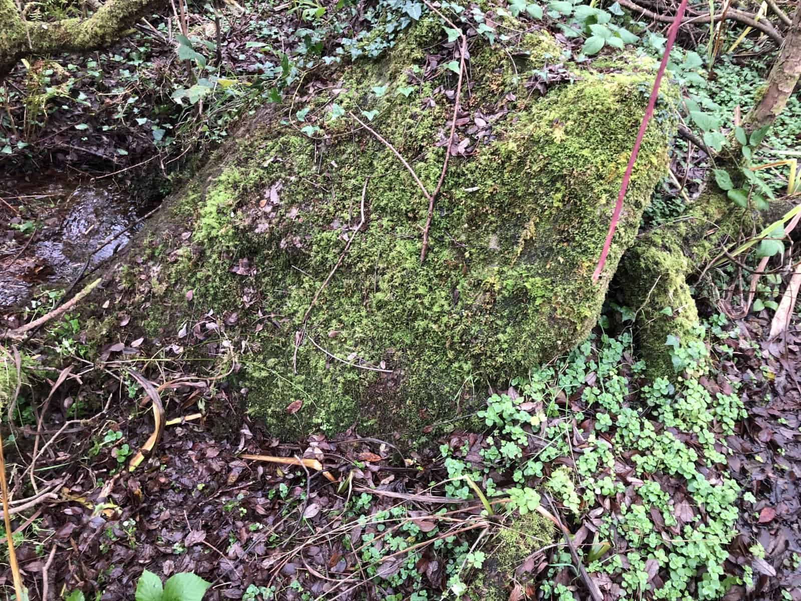
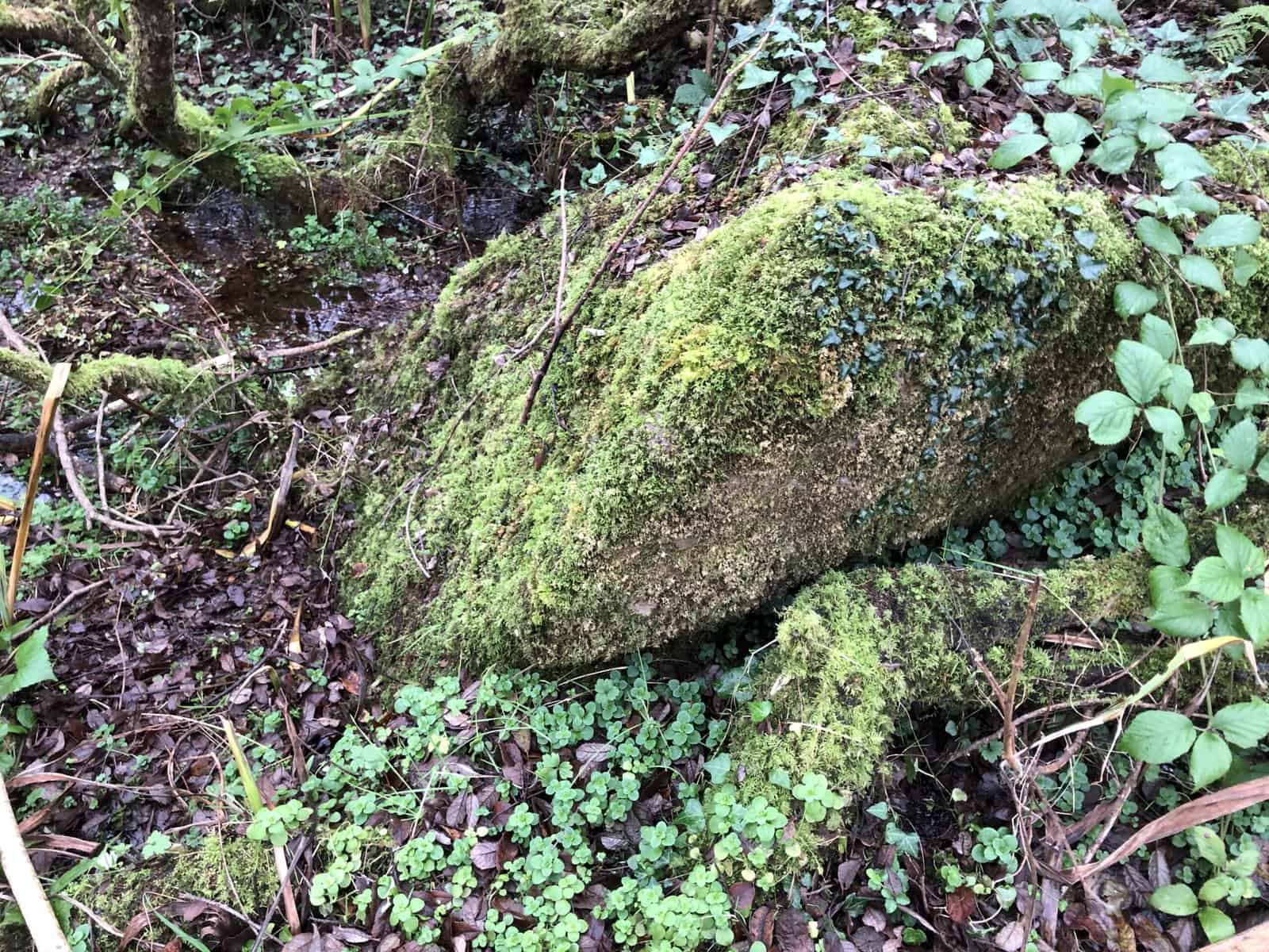
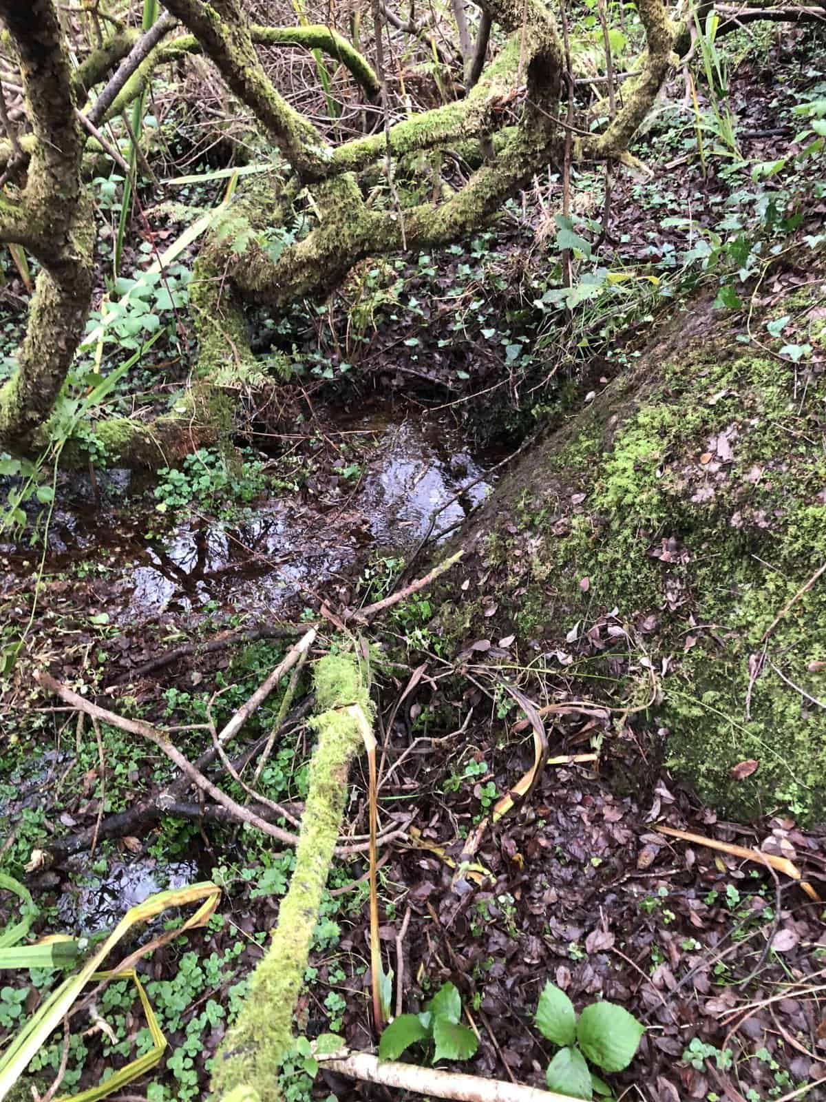
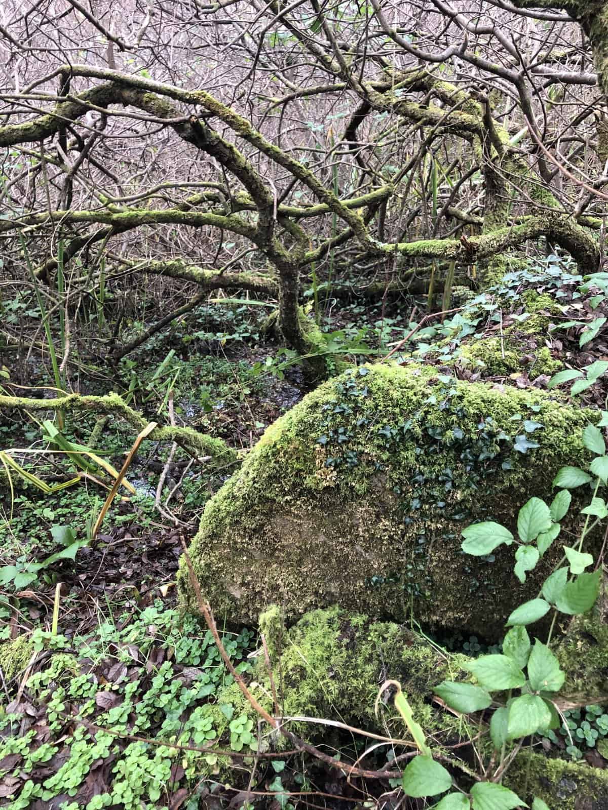
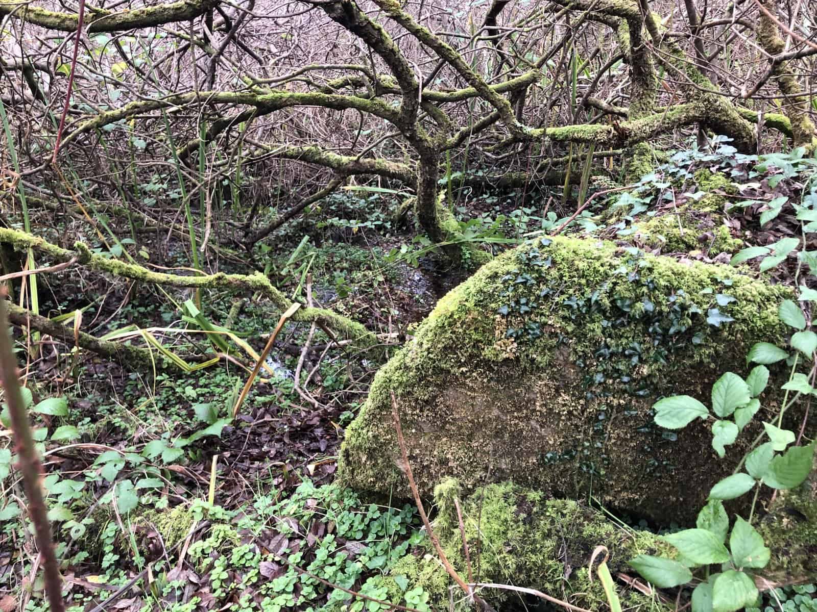
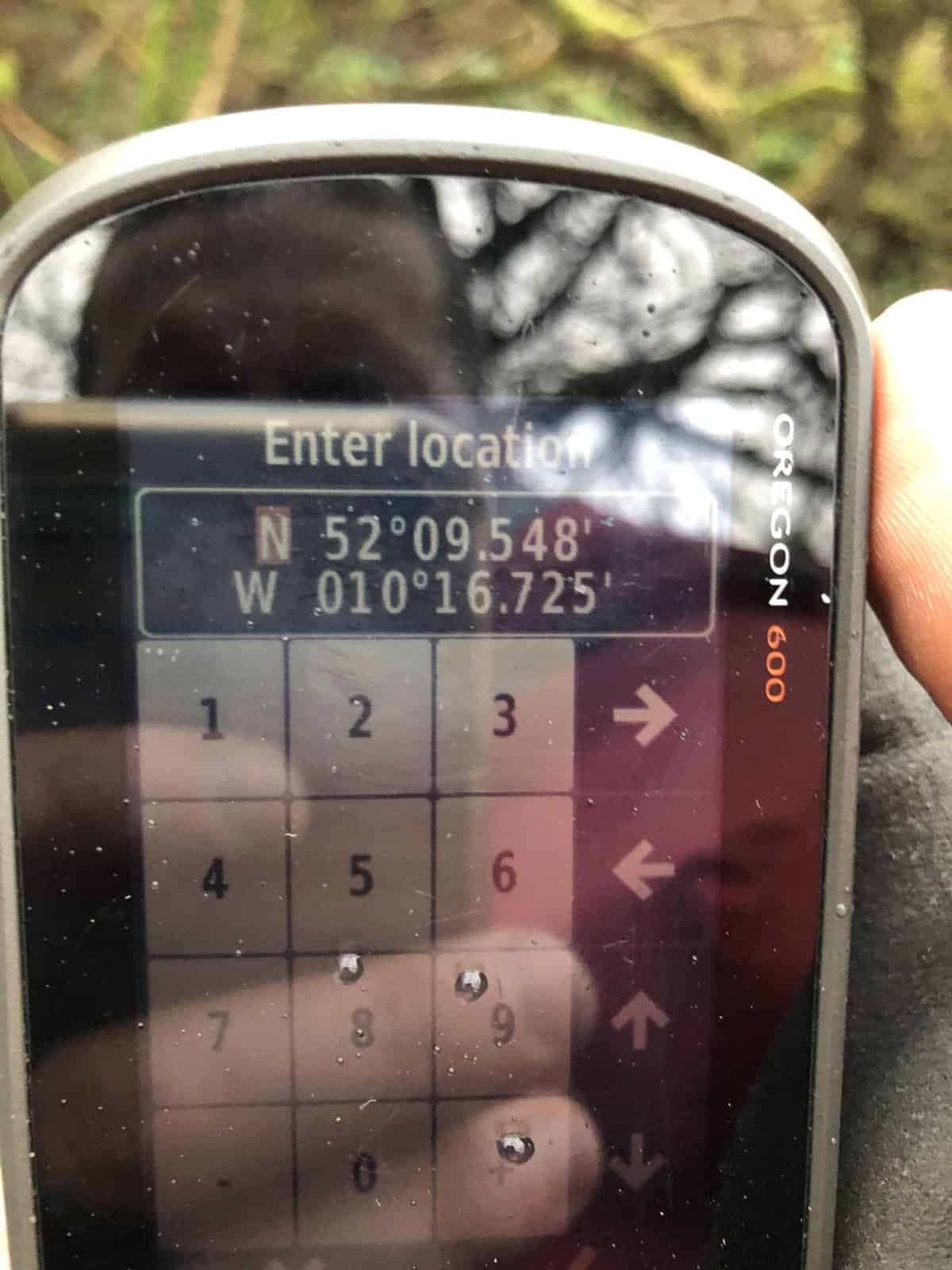
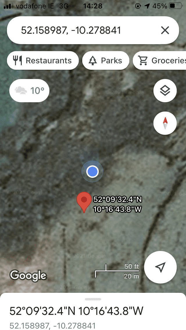
Mag Fhloinn – This well can be accessed by walking through private land, and permission was readily given on the day. No major barriers prevent access, and the field boundaries do not have gates. The actual location of the well is incorrect according to GPS and Cassini, and once again the older maps seem to preserve the correct position, which is around 15m further northeast. It can be found below the large stone mentioned by Ó Danachair, although this has become greatly overgrown with mosses and the graffiti and inscribed cross were not visible. The flow emerges from the earth below the stone, and moves downhill to the more substantial stream which forms the northern field boundary. The site is greatly overgrown by willow trees, and one must stoop quite low to pass under their branches. There is no sign of devotion in recent times, although the landowner was quite aware of its location and sanctity. (BMF 02/12/2021)
The well seems to be in association with the nearby ecclesiastical site of Cill Fhaoláin